Now Reading: Azure Maps PCF Control
1
-
01
Azure Maps PCF Control

Azure Maps PCF Control
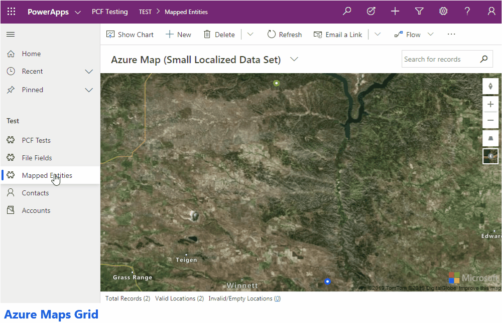
Overview
This PCF control allows you to display information for a view that contains latitude and longitude information within Azure Maps. The Popup Box for each point that is created on the map also gives you the ability to open the selected record.
Additional Features
- Utilizes a central configuration entity for authentication which means not having to update multiple…
Continue Reading Rick A. Wilson (RAW)’s Article on their blog
http://feedproxy.google.com/~r/richardawilson/MqOq/~3/7mIAmAiBbJI/azure-maps-pcf-control.html
Blog Syndicated with Rick A. Wilson (RAW)’s Permission


Top Headlines

Support The Site