Now Reading: Connecting ESRI ArcGIS system to Dynamics 365 CRM with Maplytics!
-
01
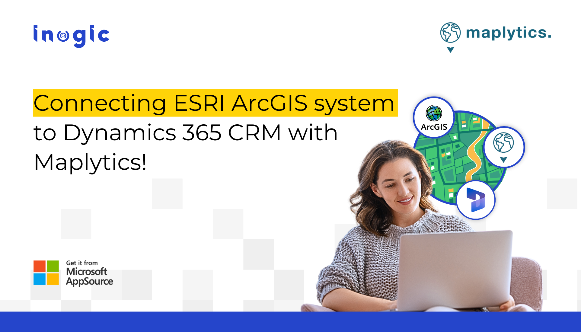
Connecting ESRI ArcGIS system to Dynamics 365 CRM with Maplytics!
Connecting ESRI ArcGIS system to Dynamics 365 CRM with Maplytics!
In today’s data-driven world, decision-making can’t afford to happen in silos. Imagine managing field services for a city-wide utility company or strategizing store expansions for a growing retail chain. Your CRM contains valuable customer data, service history, and sales trends. Meanwhile, your GIS system holds rich spatial information, like zoning boundaries, traffic density, weather risks, or competitor footprints.
Now imagine the power of bringing both worlds together, not just as a concept, but as an everyday operational reality.
That’s precisely what Maplytics enables, integrating ESRI’s ArcGIS Online directly within Microsoft Dynamics 365, making location intelligence truly actionable within the platform you already use.
Turning Maintenance Plans Into Smart, Safe Field Strategies
Let’s say you’re working at a utility company responsible for maintaining power infrastructure across a metro region. Your teams use Dynamics 365 CRM to manage customer complaints, service requests, and team schedules. Separately, your technical department relies on ArcGIS to manage complex layers like power line grids, transformer locations, and even weather-related risk zones.
The challenge? These tools don’t usually speak the same language, or even exist on the same screen.
With Maplytics, that barrier disappears. You can visualize live ArcGIS layers, such as transformer sites, flood-prone zones, or power outage hotspots, directly inside Dynamics 365. This means that your field service reps no longer rely solely on addresses and manual notes. Instead, they see exactly where a reported issue falls on the map, how close it is to hazardous zones, and what other work orders are nearby.
The result?
- Smarter planning
- Safer routing
- Faster, data-informed response times
All without ever switching tools.
Geographic Context for Strategic Expansion
Picture a retail executive planning to launch new stores across the Midwest. You already track customer preferences and revenue trends in Dynamics 365, but your expansion strategy hinges on more than sales data.
You need to know where the population is growing, where traffic is thickest, which areas have high footfall, and where competitors are thriving. This data lives in ArcGIS, but with Maplytics, it’s no longer in a separate tool. You can overlay demographic heat maps, traffic flow patterns, income brackets, and competitor footprints right onto your CRM map interface.
This lets your planning team answer critical questions instantly:
- Which ZIP codes show underserved markets?
- Where are high-value customers clustering?
- What’s the best spot for the next storefront?
By merging CRM data with spatial intelligence, every expansion decision gains a layer of context that traditional reporting can’t provide.
What the Integration Enables
When Maplytics brings ArcGIS layers into Dynamics 365, it creates a unified spatial dashboard where your data becomes insight. Here’s what that looks like in action:
- Visualize GIS feature layers such as zoning codes, flood risks, broadband coverage, right inside your CRM interface. These layers are live, meaning they auto-refresh as updates occur in ArcGIS.
- Align CRM territories with GIS boundaries, whether based on ZIP codes, districts, or service regions, making territory management more geographically accurate.
- Combine location context with customer interactions, enabling deeper insight into sales trends, service issues, or campaign effectiveness.
- Optimize field activities by letting teams assess site conditions, proximity to hazards, and nearby cases all on a single screen.
You’re no longer mapping just addresses, you’re mapping intelligence.
Who Gains the Most?
The beauty of this integration is how broadly it applies:
- Sales teams realigning territories or launching regional campaigns
- Field technicians who need spatial awareness of work orders and hazards
- Operations leads managing physical asset placement or logistics routes
- Marketers planning geotargeted promotions
- Healthcare, nonprofit, or government sectors conducting outreach or coverage analysis
Now, spatial data isn’t just viewable, it’s actionable, recommendable, and automatable.
Spatial Meets Strategic, Seamlessly
In a world where timing, location, and agility define success, having map data in your CRM is no longer optional.
With Maplytics, powered by Microsoft Dynamics 365 and integrated with ESRI ArcGIS, your teams gain an edge that’s visual, real-time, and grounded in geography. Whether you’re dispatching field reps, plotting store growth, or planning outreach, Maplytics turns your CRM into a location-intelligent command centre.
And you don’t need to overhaul systems to get there. You simply need to bring them together, with tools built for today’s pace of business.
What’s More?
Maplytics is like water that can be moulded into any shape. It makes Bing Maps and Azure Maps integration within Dynamics 365 look seamless. Radius Search, Route Mapping, and more have become super easy to use. To get more acquainted and experience it first-hand, one can write to crm@inogic.com. To investigate the product further, with a personalized demo within Microsoft Dynamics 365 CRM / Dataverse, get in touch with the team. For applied knowledge, do visit our Website or Microsoft AppSource. One can hop onto the detailed Blogs, Client Testimonials, Success Stories, Industry Applications, and Video Library for a quick query resolution. You can check out our technical tutorial video series #KnowYourMaplytics here, and for fun Tips & Tricks about Maplytics, have a look at our series #ProAtMaplytics here. Technical docs for the working of Maplytics are also available for reference.
You can also leave us a review or write about your experience on AppSource or the G2 Website.
The post Connecting ESRI ArcGIS system to Dynamics 365 CRM with Maplytics! first appeared on Microsoft Dynamics 365 CRM Tips and Tricks.
Original Post https://www.inogic.com/blog/2025/06/connecting-esri-arcgis-system-to-dynamics-365-crm-with-maplytics/