Now Reading: Building Smarter Cities with Location Intelligence and Integrated Maps
-
01
Building Smarter Cities with Location Intelligence and Integrated Maps
Building Smarter Cities with Location Intelligence and Integrated Maps
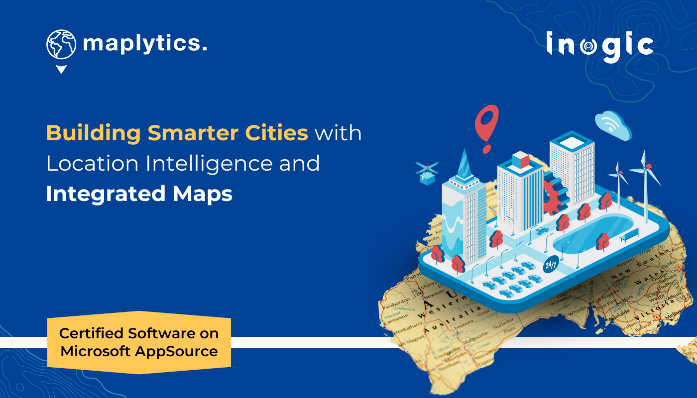
Around the world, cities are racing to lead the future of urban development, embracing cutting-edge technologies to become smarter, more sustainable, and highly efficient. Countries like Canada, the U.S., and the U.K. are pioneering these advancements, and now, Australia is making its mark with ambitious Smart City Plans backed by both government initiatives and private developers.
But what does it take to build a truly smart city?
It all starts with location. The foundation of any smart city lies in selecting the perfect area, optimizing infrastructure, integrating local culture, and ensuring seamless connectivity. With so much dependence on geospatial intelligence, tools like Maplytics for Microsoft Dynamics 365 CRM are revolutionizing the way cities are planned and developed.
Let’s explore how location intelligence can power the smart cities of tomorrow!
Meet “Switching of Shawn” – A Smart City Vision for Australia
Imagine “Switching of Shawn”—a hypothetical smart city project in Eastern Australia, jointly funded by the Australian Government and local councils. This visionary project is designed to enhance the following:
- City Policing & Safety – Smarter surveillance and emergency response planning
- Urban Planning & Sustainability – Optimized land use, eco-friendly infrastructure
- Cultural & Environmental Inclusivity – A city that thrives on Australia’s unique coastal culture
To achieve these ambitious goals, leveraging Maplytics’ location intelligence within Microsoft Dynamics 365 CRM would be a game-changer. Here’s how:
Selecting the Perfect Smart City Location
Australia’s stunning coastline is a major economic driver, with water sports alone generating USD 179.30 million in 2023. Incorporating coastal tourism into a smart city’s DNA makes both financial and cultural sense.
How Maplytics Helps:
- Land Area Mapping – Identifies ideal locations near bustling coastal regions
- Census Data Integration – Analyzes population density and demographics within Dynamics 365 CRM
- Tourism & Economy Insights – Ensures the city is positioned for maximum economic impact
For instance, the Gold Coast, famous for its beaches and vibrant tourism, could be the perfect hub for “Switching of Shawn.” By mapping key demographics and economic trends, planners can make data-driven decisions to boost sustainability, job creation, and cultural preservation.
Designing a Smarter, More Connected City
A smart city is only as good as its infrastructure. From education and healthcare to corporate hubs and entertainment zones, city planners need precise data to optimize facility placement and transportation networks.
How Maplytics Enhances Smart City Planning:
- Proximity Search – Maps the ideal locations for schools, hospitals, corporate offices, and recreational centers
- Optimized Routing – Plans the most efficient travel routes within the city
- Public Transport Scheduling – Uses Auto Scheduling to coordinate bus, taxi, and metro routes
For example, if “Switching of Shawn” were built near the Gold Coast, Maplytics could:
- Plot optimized travel routes from Brisbane to Gold Coast
- Ensure healthcare centers are within 5-10 minutes from residential areas
- Plan efficient public transport routes based on real-time population data
Smart Security & Sustainable Urban Development
A safe and sustainable smart city requires advanced security measures and eco-friendly planning.
How Maplytics Supports Smart Security & Sustainability:
- Surveillance & Street Lighting Mapping – Identifies key locations for CCTV cameras and smart lighting
- Green Energy & Waste Management Planning – Maps locations for solar panels, recycling plants, and rainwater harvesting
- Heat Maps for Urban Development – Analyzes foot traffic and density to plan parks, shopping centers, and green spaces.
With AI-driven spatial insights, city planners can strategically place security cameras, emergency response stations, and sustainable infrastructure where they’re needed most.
Bringing “Switching of Shawn” to Life
From site selection and facility planning to transportation and security, Maplytics offers end-to-end location intelligence for building futuristic smart cities. With seamless integration into Microsoft Dynamics 365 CRM, urban planners, government officials, and private developers can make smarter, data-backed decisions.
What’s More?
Maplytics is like water that can be molded into any role. It makes Bing Maps and Azure Maps integration within Dynamics 365 look seamless. Radius Search, Route Mapping, and more have become super easy to use. To get more acquainted and experience it first-hand, one can write to crm@inogic.com To investigate the product further, with a personalized demo within Microsoft Dynamics 365 CRM / Dataverse, get in touch with the team. For applied knowledge, do visit our Website or Microsoft AppSource. One can hop on to the detailed Blogs, Client Testimonials, Success Stories, Industry Applications, and Video Library for a quick query resolution. You can check out our technical tutorial video series #KnowYourMaplytics here, and for fun Tips & Tricks about Maplytics, have a look at our series #ProAtMaplytics here. Technical docs for the working of Maplytics are also available for reference.
You can also leave us a review or write about your experience on AppSource or G2 Website.
Let’s build the future, one smart city at a time!
Until then, happy planning!
The post Building Smarter Cities with Location Intelligence and Integrated Maps first appeared on Microsoft Dynamics 365 CRM Tips and Tricks.
Original Post https://www.inogic.com/blog/2025/02/building-smarter-cities-with-location-intelligence-and-integrated-maps/