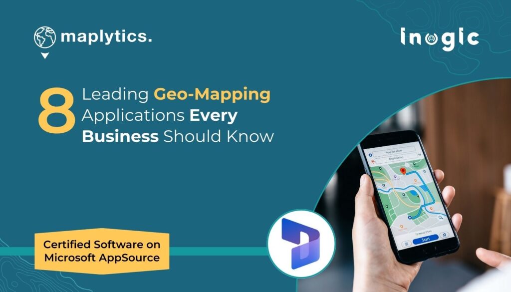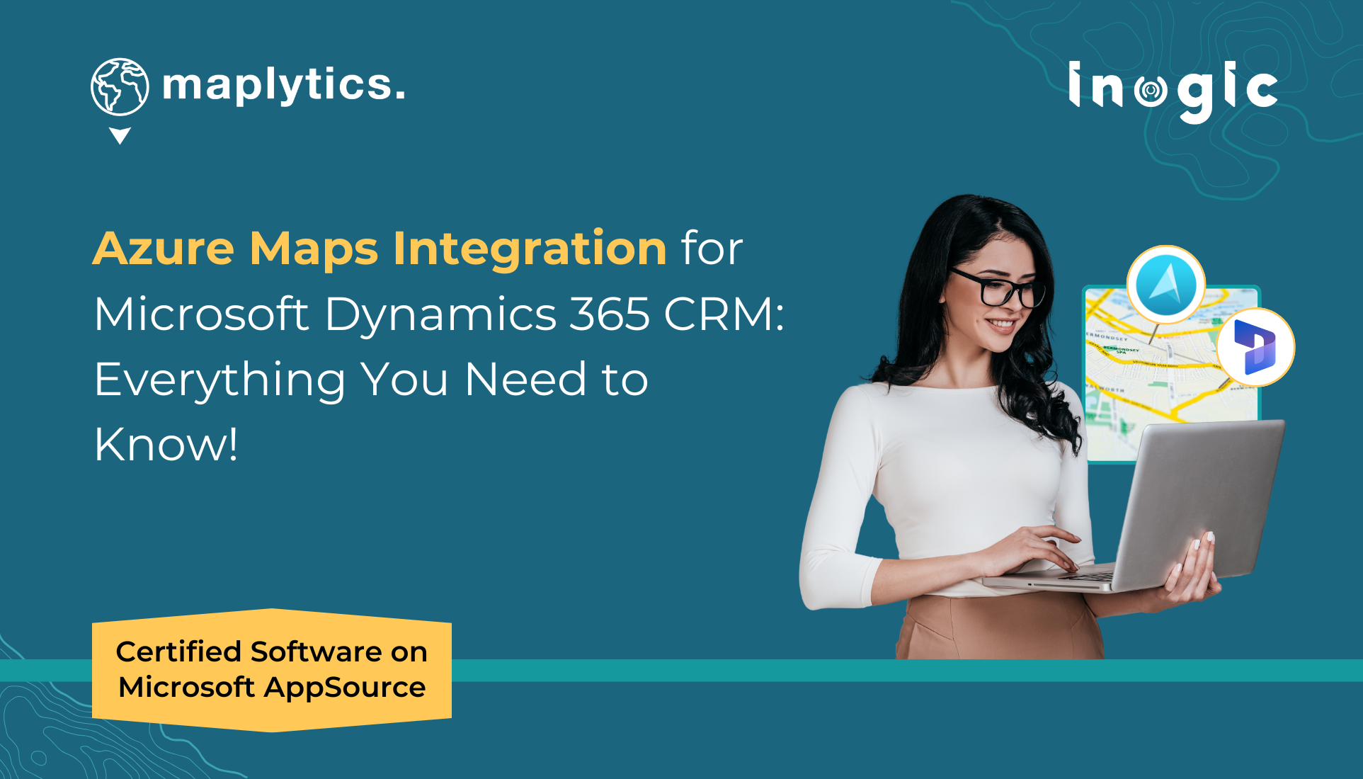
Geo-mapping in Microsoft Dynamics 365 CRM is getting a big upgrade with the arrival of Azure Maps—the next-generation mapping platform set to replace Bing Maps.
As more CRM users explore location intelligence, many are curious about how Azure Maps works with Microsoft Dynamics 365 CRM and what it means for day-to-day tasks like visualizing data, planning routes, or finding nearby customers.
In this blog, we’ve answered the most frequently asked questions about Azure Maps and Microsoft Dynamics 365 CRM integration—all in simple terms to help you understand what’s new, how it works, and how it can enhance your Dynamics 365 CRM experience.
Let’s dive in and clear up the confusion!
What is the role of Azure Maps in Dynamics 365 CRM integration?
Azure Maps brings enhanced geospatial capabilities to Dynamics 365 CRM, enabling users to visualize, analyze, and interact with location-based data directly on a dynamic map interface. Azure Maps acts as the core mapping engine that powers the geospatial features in Dynamics 365 CRM when integrated through Maplytics. It enables interactive maps, real-time location intelligence, route planning, and enhanced visualization of CRM data directly on a map interface.
How does Azure Maps improve data visualization in Dynamics 365 CRM?
Azure Maps allows CRM records to be displayed as visual markers on an interactive map. Users can view leads, accounts, and contacts based on geographic distribution, enabling data-driven decision-making through visual context. With Dynamics 365 CRM and Azure Maps integration, users can visualize large data sets, apply thematic categorization, and gain spatial insights using high-quality, responsive maps.
Can CRM records be filtered by location or region using Azure Maps?
Yes, with Maplytics and Azure Maps integration, users can filter CRM records by location, postal code, predefined territories, or even draw custom areas directly on the map. This advanced filtering or categorization capability helps users concentrate on the most important and location-relevant data
How does the proximity search function work in Dynamics 365 with Azure Maps?
Users can perform proximity searches by defining a radius or drive time from a specific location to find nearby CRM records. This feature is useful to identify nearby clients, plan customer visits accordingly, or identify untapped regional opportunities.
Is it possible to integrate Azure Maps into Power Apps for CRM mapping?
Absolutely. Azure Maps can be embedded into Power Apps using custom components, allowing users to visualize CRM data within both model-driven and canvas apps. Maplytics’ PCF (PowerApps Component Framework) control integrates Azure Maps into model-driven and canvas apps, enabling embedded mapping, advanced filtering, and spatial analytics—all within the Power Apps interface.
Can I categorize CRM data visually on a map within Dynamics 365?
Yes. CRM records and Data points can be visually categorized using colors, icons, and labels based on CRM attributes. This helps users instantly distinguish data types like customer types, status, or service regions at a glance.
How does Azure Maps assist with route optimization for CRM users?
Azure Maps enables multi-location route planning and provides real-time traffic information to improve travel efficiency. CRM users can plan efficient travel routes to minimize drive time, fuel costs, and delays during field operations. With Maplytics—a geospatial app with Azure Map integration—users can create optimized, multi-stop travel routes based on time, distance, or priority, helping field agents save time and fuel.
Is Azure Maps integration compatible across desktop and mobile devices?
Yes, the map interface is fully responsive, providing a consistent experience across desktop, tablet, and mobile devices—ideal for both office users and field agents. Maplytics—Dynamics 365 CRM Azure Maps integration app is fully responsive and optimized for desktop, tablet, and mobile. Field users can access maps, perform searches, and view routes while on the go.
Which type of POI search can be done using Azure Maps in Dynamics 365?
Users can search for nearby places such as gas stations, hospitals, restaurants, cafes, and more using point-of-interest (POI) search, based on keywords and current location. This helps field reps find useful locations near their appointments or on their travel routes.
How does the List feature with Azure Maps improve CRM usability on the map interface?
The feature displays mapped records in a side-by-side list view. Users can quickly scan, sort, and take actions (like scheduling appointments or assigning records) while viewing their geographic context.
Can users draw custom regions on the map for data analysis?
Yes, users can create custom areas on the map using tools like freehand drawing, circles, or polygons to analyze CRM data within specific boundaries. This helps users analyze CRM records within user-defined boundaries.
How does Azure Maps integration in Dynamics CRM support sales and marketing efforts in CRM?
By visualizing leads and customer locations, sales and marketing teams can identify high-potential regions and plan smarter engagements using geospatial insights. Additionally, sales and marketing users can leverage proximity searches, sales assignments, and demographic visualizations to run targeted campaigns, optimize lead follow-ups, and identify high-potential areas.
Can Azure Maps in Dynamics 365 display high-resolution, interactive visual maps?
Yes. Azure Maps provides detailed, high-resolution map layers with smooth zooming, responsive rendering, and interactive elements, offering a premium visualization experience within Dynamics 365 CRM.
Why is Azure Maps integration valuable for field service teams?
Field agents can view work orders, customer locations, and optimize travel plans all from a map interface. Real-time navigation helps improve productivity and service delivery.
How does hover-based data visualization improve CRM interactions?
Hovering over a map pin reveals instant details like contact info, account status, or recent activity. This reduces clicks and allows for quicker insights without opening individual records for faster decision making.
Can Canvas Apps be customized to include map-based CRM features?
Yes, Power Apps Canvas Apps can be customized to embed maps with data layers, search filters, routing tools, and more—delivering tailored map experiences to users.
Ready to Get More from Azure Maps in Dynamics 365 CRM?
Everything we talked about above—like finding nearby customers, planning smart travel routes, using maps on your phone, and filtering CRM data visually—is fully supported by Maplytics, a trusted and certified app available on Microsoft AppSource.
If you want to make the most of Azure Maps inside Dynamics 365 CRM, Maplytics is the go-to solution. It helps your sales, service, and marketing teams work smarter with easy-to-use map tools, better planning, and real-time insights.
Take a 15-day free trial from our website or book a personalized demo to experience its full potential.
Lastly, it’s worth noting that this is a proven solution—on the market for 2 decades and recognized as a Microsoft Certified Solution.
Explore our Blogs, Client Testimonials, Success Stories, Industry Applications, and Video Library to see how businesses are leveraging Maps integration for their Dynamics 365 / PowerApps / Canvas Apps/ Dataverse.
Have questions?
Reach out to our team at crm@inogic.com or visit Microsoft AppSource to get started today!
Till then,
Happy Geo-Mapping!